
 |
Missoula, Mont. – onX Offroad is pleased to announce its newest partnership with Petersen’s 4Wheel & Off-Road Magazine as this year’s official mapping tool for Ultimate Adventure 2020 (UA2020).
Off-road enthusiasts can download the onX Offroad App to begin mapping their own Ultimate Adventure. The Offroad App allows users to explore over 400,000 miles of trails across all 50 states. Encompassing 100+ million acres of public land, onX Offroad is a must-have tool for anyone looking to plan their own offroading adventure. Participants of this year’s Ultimate Adventure will use the App to map daily routes, mark points of interest, and track their multi-day adventure. The full route from this year’s Ultimate Adventure will be available in the App once the journey is complete.
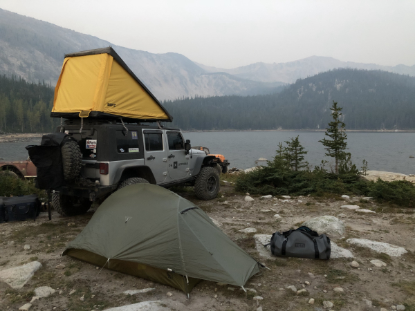
Ultimate Adventure 2020 kicked off in Kalispell, Montana, with over 46 participants and 26 vehicles. From there, the offroading caravan headed South to the Caruthers Lake Trail where participants settled into their lakeside campsite. While the entire route remains a mystery, Four Wheeler Magazine has already demonstrated, twenty times before, their ability to lead participants on an unforgettable expedition. Stay on the lookout for the 26 heavily modified vehicles traversing Montana.
“Whether you prefer exploring on two wheels or four, onX Offroad is a great resource for any motorized enthusiast,” said Rory Edwards, General Manager at onX Offroad. “We’re thrilled to be a partner of this year’s Ultimate Adventure and I look forward to participating in the amazing event myself.”
Fans can follow this year’s Ultimate Adventure by visiting, http://www.fourwheeler.com/ultimate-adventure/. Event coverage will be shared on the website and on social media with the #UA2020 hashtag.
To learn more about onX, visit the onX Offroad website here or download the app in the Apple App Store or the Google Play Store.
###
About onX
The mission behind onX is to always know where you stand by giving outdoor enthusiasts more information about their surroundings than they ever thought possible. We strive to create the most complete, current and accurate mapping information available, including land ownership, roads, trails, and other access-related data.
By providing people the best and most up-to-date data and GPS technology in the palm of their hand, onX seeks to help people have the best outdoor experiences possible.